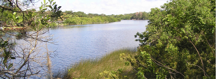
With most of the shoreline along Tampa Bay either developed or restored, planners are looking upstream to protect tidal tributaries and provide higher ground for critical habitats as sea level rise continues to affect the region.
An important step in addressing that long-term trend is the development of a conceptual plan for nearly 7,400 publicly held acres in the Little Manatee River watershed, It is estimated to take at least 20 years and $30 million to complete the projects identified in the plan, said Brandt Henningsen, chief environmental scientist at the Southwest Florida Water Management District’s SWIM (Surface Water Improvement and Management) Program.
“The district and Hillsborough County have purchased the land over the past 30 years, and the Little Manatee River State Park makes it a nearly contiguous 30-mile corridor along the river so wildlife can transverse it as needed,” he said. “When completed, it will be a passive preserve area for hiking and kayaking – not ballfields or ATVs.”
The plan itself was a $200,000 initiative funded jointly by the district and the Tampa Bay Environmental Restoration Fund.
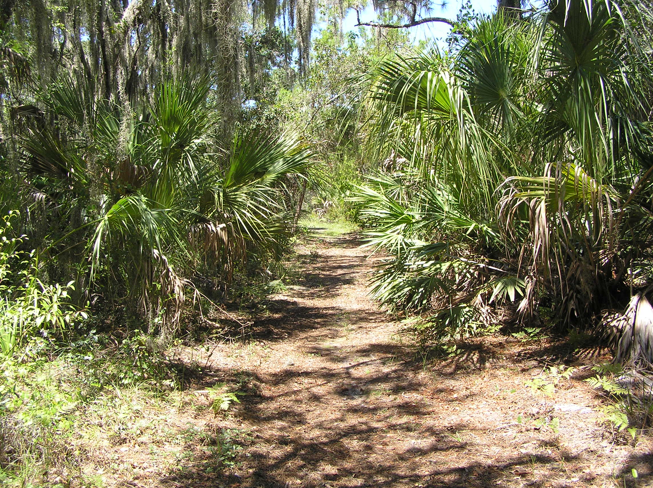
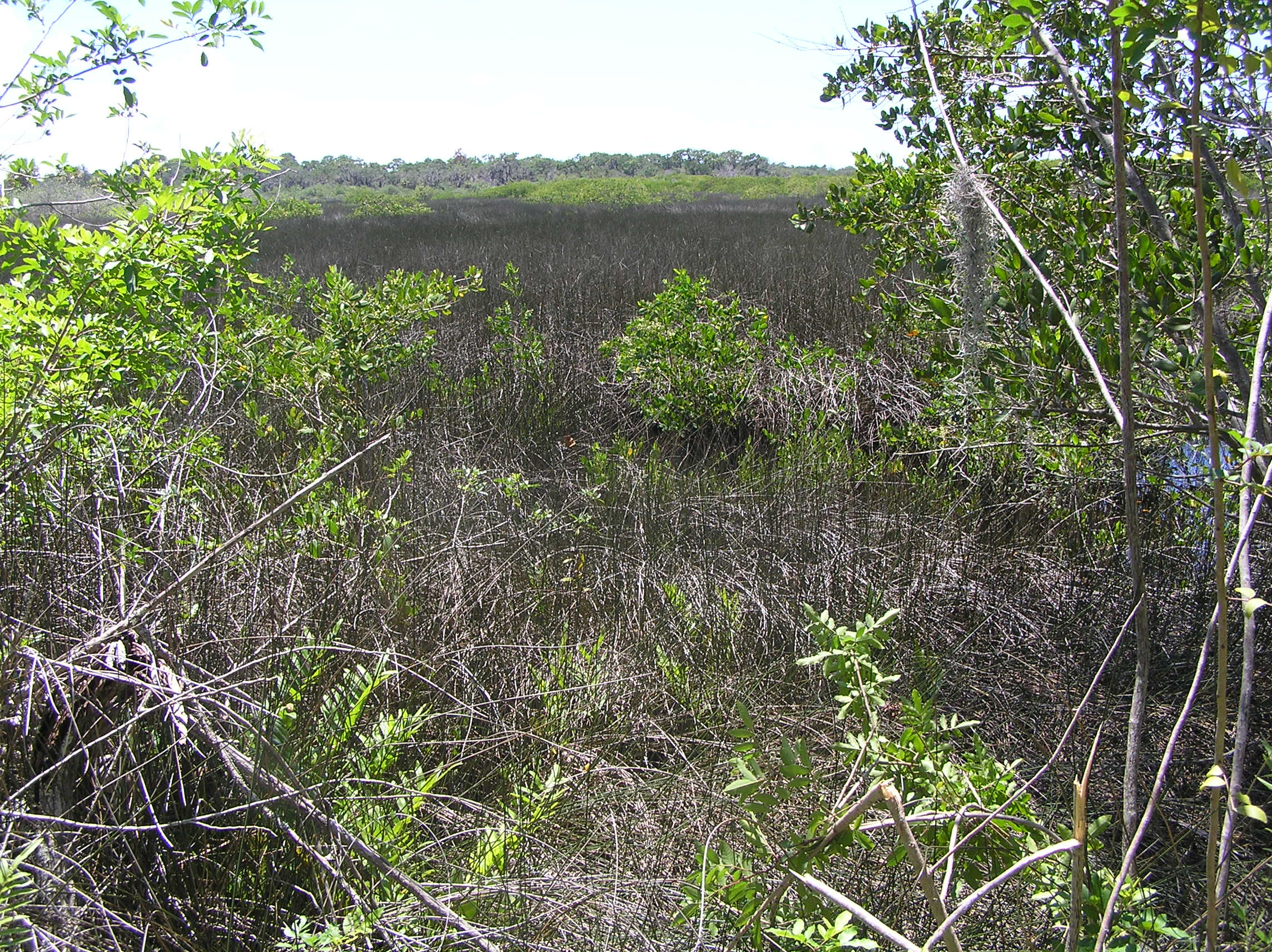
 Much of the corridor remains in a relatively natural state, although other areas that had been converted to agricultural uses are covered in invasive species including cogongrass and guinea grass, as well as Brazilian pepper and hairy indigo. In some places, mosquito ditches drain land quickly rather than allowing water to slowing sink into the aquifer or naturally create low-salinity habitat. One location – the Willow Site – has become a popular, albeit illegal, spot for ATV enthusiasts who create ditches that drain to the river, increasing sedimentation and diminishing water quality.
To create the long-term plan, the district, county and Cardno assessed different parcels, dividing them into 10 sections ranging in size from 283 to 1,500 acres. Restoration plans are based on historical photos so that lands continue as close to their natural state as possible, Henningsen said. In some cases, the parcels can be restored to capture runoff from nearby agricultural fields, filtering nutrients before they get in the river.
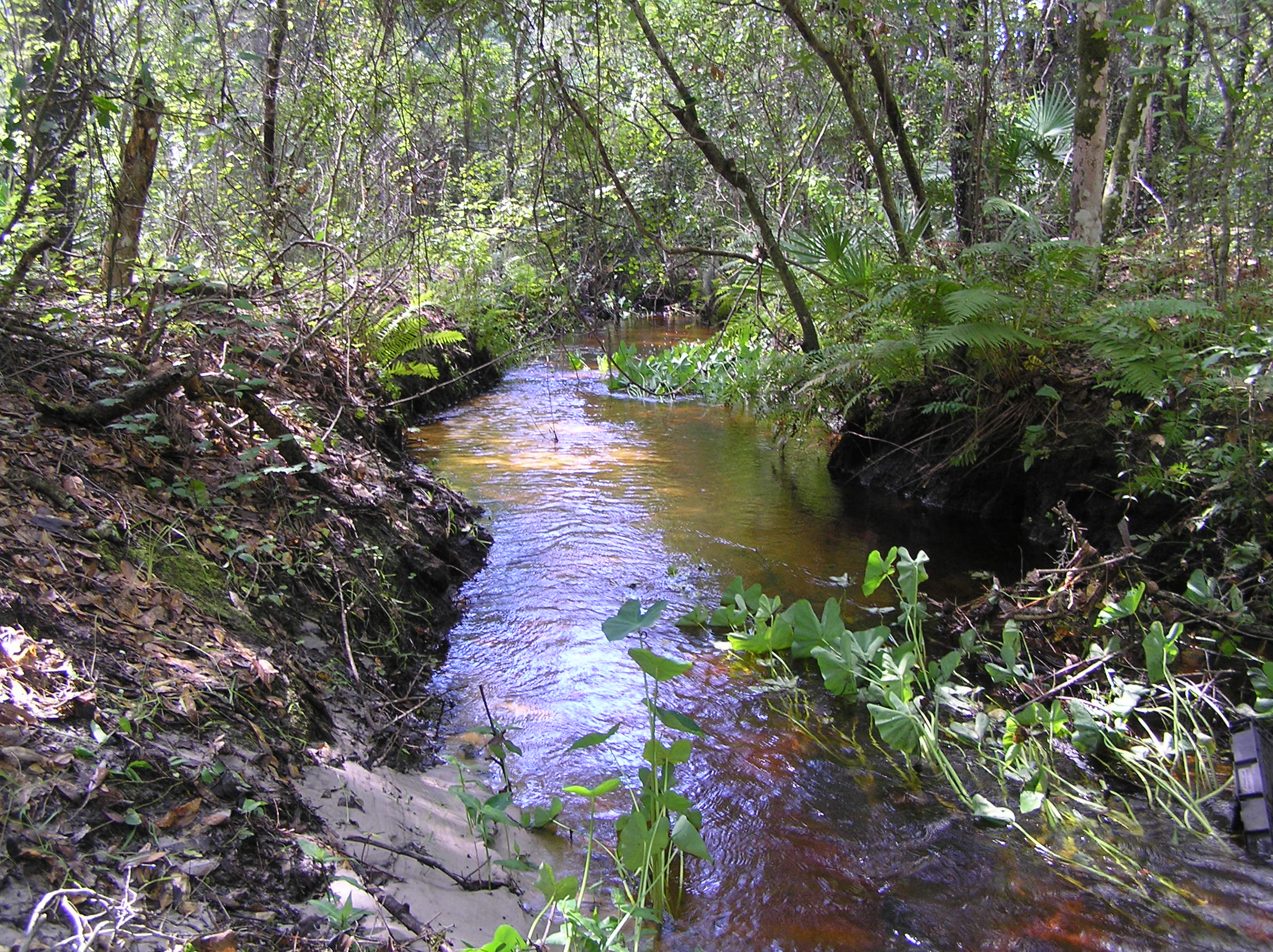 Using a complex matrix that looks at water quality impact, groundwater impact, habitat value and enhancing regionally scarce communities, the district and county created a priority list based on average cost per restored or enhanced acre. The 1,423-acre Gully Branch Creek site was selected as the first phase of construction for an estimated cost of $5.9 million.
Although it is further from the bay than some other sites, it ranked well for its ability to improve water quality, improve groundwater discharge and establish a natural hydroperiod. It also ranked highly for easy site access, which will be a challenge at some of the sites, Henningsen said.
Within that section, the 444-acre Gully Branch upland restoration project is expected to be funded by SWFWMD in 2019. Formerly agricultural land, the site is now covered in cogongrass, considered to be one of the top ten worst weeds in the world. “The (SWFWMD) Governing Board has been very supportive of the SWIM Program and seen the value of these restoration projects,” Henningsen said.
Hillsborough County is responsible for most of the management and is participating in the restoration of multiple sites, adds Mary Barnwell, environmental lands management coordinator. “We’re already doing a lot of prescribed burning, exotics control and maintenance, including several recreational trails and trailheads that allow hikers back into the property.”
The Little Manatee River corridor is critically important over the long-term because it’s among the highest land in Hillsborough County with multiple bluffs overlooking the river. “We’re restoring both for the short term while also taking the long-term land use into consideration,” Barnwell said. “As sea level rise continues, we’ll need to create a west-to-east corridor that provides wildlife and plant communities room to move. We’ve seen them adapt to change in the past, but it was very gradual – now we’re looking at accelerated adaptation.”
 The long-term plan for restoration of the Little Manatee River will function as a blueprint for habitats to accommodate a range of possible impacts from climate change. “This project is key to protecting some of our most vulnerable habitats, like juncus (black needle rush) marshes,” adds Maya Burke, science policy coordinator for the Tampa Bay Estuary Program.
By Vicki Parsons, originally published Nov. 7, 2018
Explore the Little Manatee River’s landscape, past and present. Click on the top left corner to turn layers on and off to explore aerials from the past 70 years.