“That goal recognizes that we can’t fully replace all habitat lost since the 1950s,” explains Doug Robison, senior scientist at Environmental Science Associates who also helped write Habitat Master Plans for the Tampa Bay Estuary Program (TBEP) in both 1996 and 2010. “It also recognizes that proportions are important because different species are dependent upon specific habitat as they complete their life cycle.”
 The initial goal for seagrass, reliant upon increased water clarity, was exceeded in 2014, but progress toward targets for salt marsh and salt barrens has been slower to come. In retrospect, Robison said, they were probably too ambitious because they depend on public-private partnerships on valuable coastal lands. Mangroves are increasing in acreage in Tampa Bay due to effects of climate change are included in the plan as a preservation target.
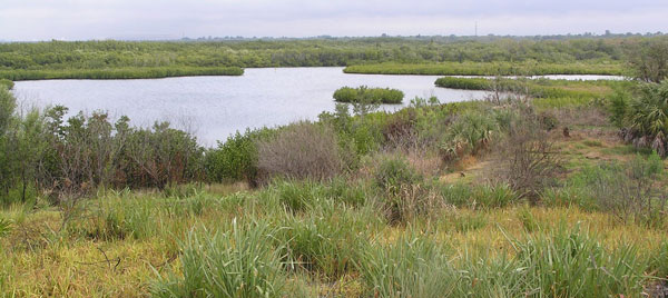
The earlier goals did not consider sea level rise or warmer temperatures, which is already affecting coastal habitats . Landward migration of mangroves into salt marshes and salt marshes into salt barrens, as well as tidal wetlands into what had been freshwater habitat, already have been documented, Robison said.

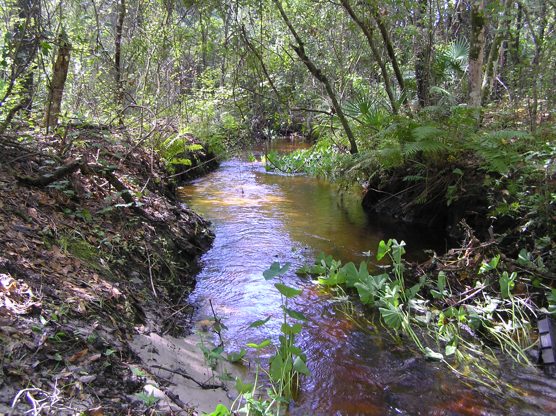
Photo courtesy Tampa Bay Estuary Program
“There are virtually no salt marshes left on the bay – they’ve all moved upstream into tributaries,” he said. “Even just a decade ago, we assumed a less dynamic environment.”
TBEP’s new Habitat Master Plan Update will take climate change effects into account. Scheduled for completion next year, it will contain numeric goals for multiple habitats, including the original seagrasses, mangroves, salt marsh and salt barrens. New goals for oyster reefs, hard and live bottom, tidal flats, tidal tributaries and freshwater wetlands, coastal uplands and man-made habitats such as artificial reefs and living shorelines also will be included.
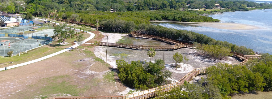
Public and private coastal holdings are potentially vulnerable to sea level rise in the next century. Identifying and protecting available lands that provide room in the future for coastal habitats to migrate inland will be critical, particularly land with “soft” infrastructure such as golf courses, school and government facilities, farms and properties previously mined for phosphate. Properties that suffer repetitive flooding also may be purchased and converted to open space, if landowners and local governments agree upon terms. These lands also provide opportunities to restore wetland habitats that may reduce future flooding, provide corridors for natural habitat migration, and sequester carbon.
Without preserving upslope lands, coastal habitats are expected to be “pinched out” between rising seas and hardened infrastructure, Robison said.
“By 2100, Tampa Bay will look very different,” notes Ed Sherwood, TBEP’s executive director. “The changes are happening now, and much more rapidly than we thought even just five years ago. Depending upon what actually happens with sea level rise, Tampa Bay will either be dominated by seagrass or mangroves.”
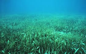
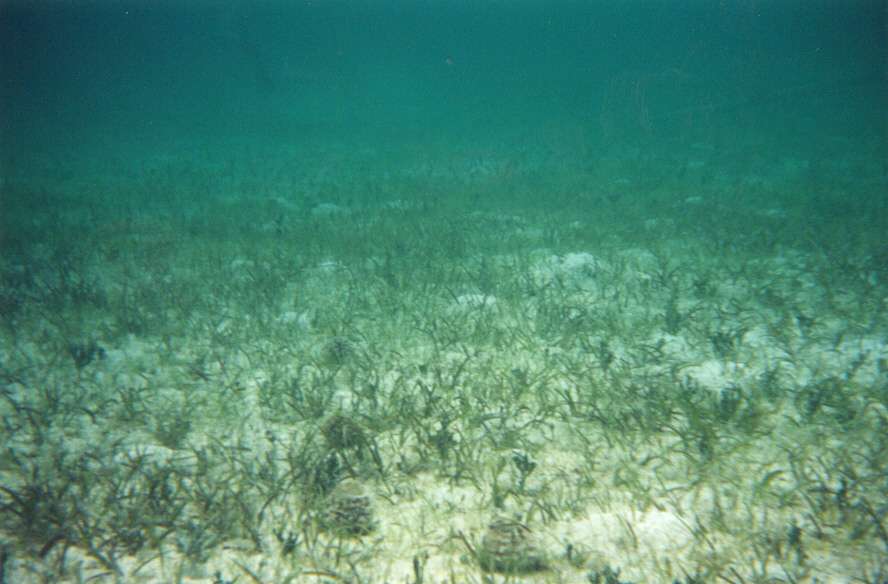
Even setting long-term seagrass goals will be challenging, Sherwood adds. Seagrasses thrive in waters to about six feet deep, but are typically shaded out in deeper water where less sunlight reaches the bottom. If seagrasses are able to migrate, it is unclear as to how long it will take for them to expand into newly inundated areas in the future.
Another step for the master plan update will be identifying coastal habitats (like the 7,300 acres in the Little Manatee River watershed) that can be preserved or conserved from both a strategic and opportunistic perspective.
The new master plan will also include freshwater wetlands and uplands as well as other coastal and underwater habitats that have not been the focus of previous master plans. It will identify freshwater habitat (and opportunities to create habitat) within the floodplains of major rivers and tributaries that will be critical to improve or maintain natural flows and water quality.
Upland habitats, including sand pine scrub, longleaf pine and pine flatwoods, are critical for the survival of species like scrub jays, bobcats and deer and will be included for the first time in this revision.

The real challenge, Robison said, is land-use planning, which historically has not addressed climate-change issues and tends to be economically driven. Purchasing property or conservation agreements will be critical, adds Brandt Henningsen, chief advisor and environmental scientist for the Surface Water Improvement and Management program at the Southwest Florida Water Management District, which has been responsible for most of the region’s major restoration projects.
“We’ve been building room for migration in our projects for years when we could, but some sites left us no room to grow,” he said. “I can’t stress the importance of land acquisition now – if we don’t own it, it’s liable to become a subdivision or shopping center. The preserves and natural areas that we own may be all that’s left in the next 100 years.”
By Vicki Parsons, originallly published Nov. 14, 2018