When Hurricane Irma swept across Florida, living shorelines generally protected uplands as well as or better than concrete seawalls or bulkheads.
“Concrete may look stronger, but if water gets over or under it – then it’s likely to collapse,” notes Tom Ries, a partner in ESA Scheda and member of the Tampa Bay Living Shorelines Advisory Board. “There are places in Tampa Bay that had been totally destroyed before we went in and planted a living shoreline. After Irma, it didn’t look like anything happened.”
Living shorelines use plants, rocks or other natural elements — alone or in combination with hardened structures — to stabilize coastlines. Unlike a concrete seawall, Living Shorelines become populated with native plants and animals over time, providing valuable habitat while filtering contaminants from stormwater. (Learn more about Living Shorelines and the difference they make in habitat and water quality here.)
The devil, as usual, is in the details – and not every location is suited for a living shoreline, Ries adds. A pilot program in Tampa Bay will identify areas where Living Shorelines could be successfully used instead of coastal armoring. The initiative is funded through RESTORE Act funds associated with the Deepwater Horizon oil spill.
The Tampa Bay model is based on one developed by the Virginia Institute for Marine Science for the Chesapeake Bay, and can be accessed here. It looks at conditions conducive to various living shoreline designs, including the duration and height of wave action and the slope of the shoreline, and suggests which erosion prevention solutions are most appropriate for a location.
The eventual goal, for Tampa Bay as a pilot project and other coastal communities over time, is to create a map that can be used by homeowners as well as regulatory agencies and contractors to determine if a living shoreline is an option to protect waterfront property, Ries said. Other pilot programs also are underway in Galveston and Perdido Bay.
The model will need to be tweaked for every location, but bathymetric and GIS data already collected in Tampa Bay could be integrated to create a planning tool that maximizes “green” solutions over “gray,” says Chris Boyd, a biologist at Troy State University in Montgomery, Alabama. “There will always be a spectrum that runs from green to gray, but we’ll focus on the vegetation before we start building bulkheads.”
Challenges abound, however. The Virginia model, for instance, considers shoreline slopes that are considerably steeper than those found in Tampa Bay, Ries said. “There are parts of Hillsborough County that top 60 feet but not on the coast.”
Differences between mangroves and marshes also change the equation because mangroves are much more effective at protecting shorelines than marsh grasses with shallower roots.
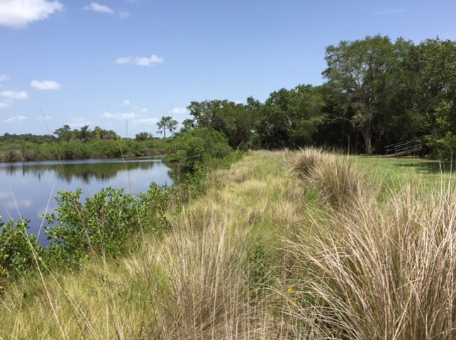
Photo by Tom Ries
And communities without in-depth bathymetric data will need to create it before “Joe Homeowner” can be comfortable with the project’s recommendations. “For instance, there’s a giant sandbar off Pinellas County that is so shallow you can practically walk across it at low tide,” Ries said. “The nearest land may be miles away, but that bar pretty much breaks up waves long before they hit the shoreline.”
The opposite may be true if the property lies near a shipping channel where giant boat wakes swipe at land, adds Marcia Berman, who led the development of the Virginia model. “The overall goal is to streamline permitting for living shorelines while recognizing that seawalls will still be needed in certain areas.”
Hurricane Irma, of course, was not the Category 5 storm we all thought was bearing down on Tampa Bay, but seeing that living shorelines survived heavy wind and rain with no damage bodes well for the future, Ries said.
[su_box title=”Living Shoreline Examples” box_color=”#4aa396″ radius=”2″]Name Location Years
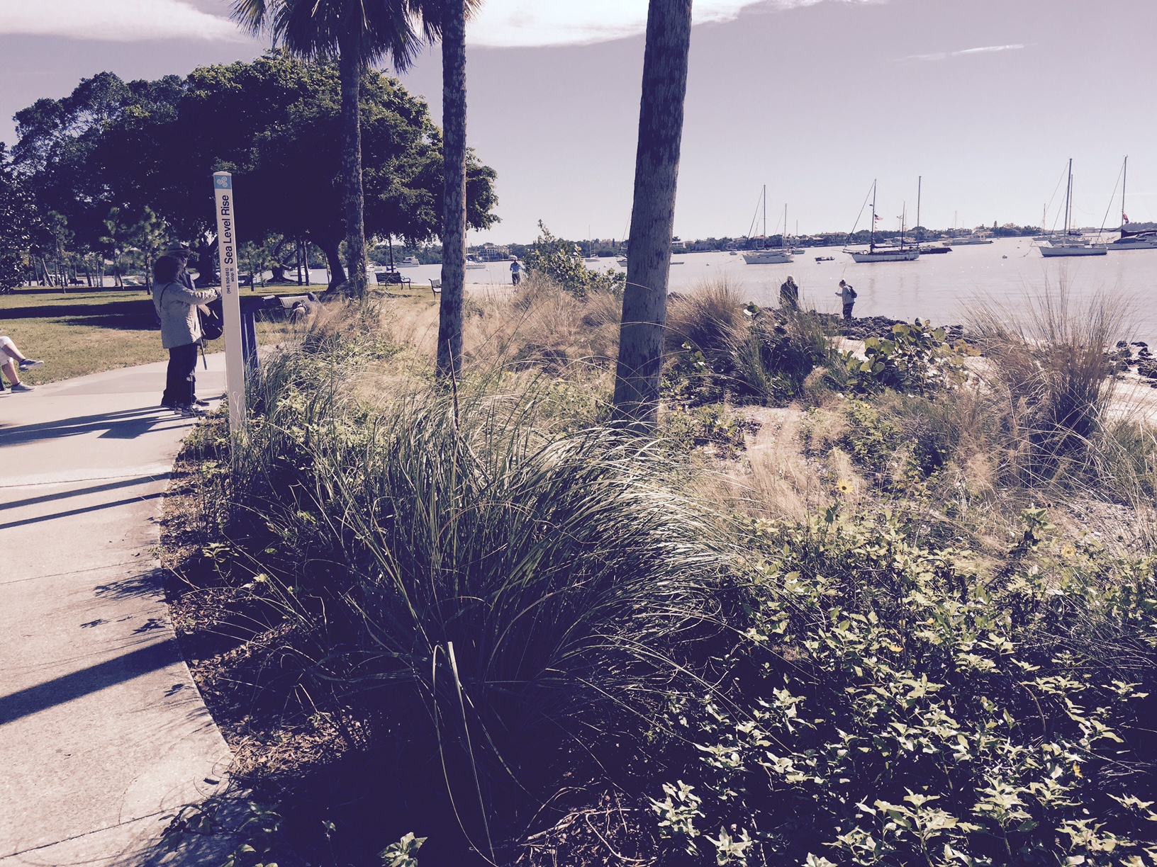
Bayfront (downtown) Sarasota Bay 5
Herb Dolan Anne Marie Island 4
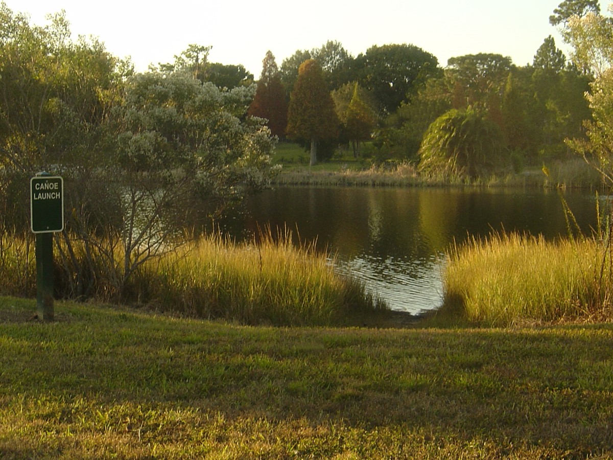
Honi Hanta Girl Scout Camp Braden River 12
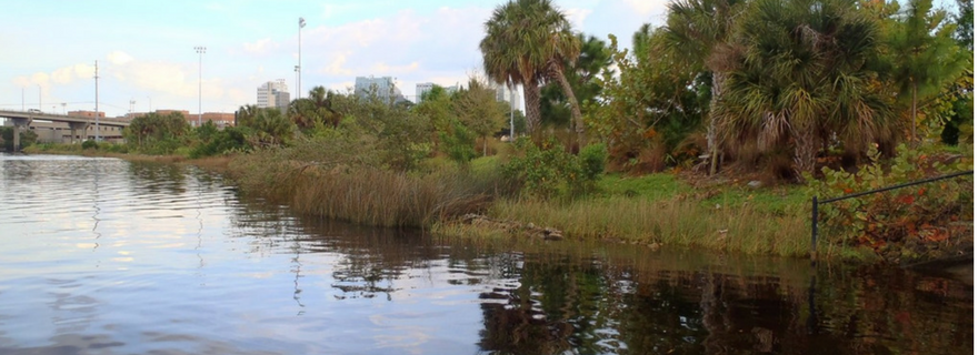
Stewart Middle School Hillsborough River 7
Rivercrest Park Hillsborough River 16[/su_box]
For more information and examples of living shorelines please see our Pinterest board! We’ll be adding to it, so keep your eye out!
[/su_divider]